Marin County Road and Trail Management / Marin County, CA
- GPS: 38°01'14.5"N 122°39'41.3"W
- GPS 2: 37°58'41.1"N 122°36'50.0"W
- Client: Marin County Open Space District, Planning Partners
- Time Period: 2012 to 2014
- Location: Marin County, CA
- Description: Marin County Road and Trail Management Plan and EIR
- Project Type: Drainage & Recreation Watershed Restoration
- Request a Consultation
Background
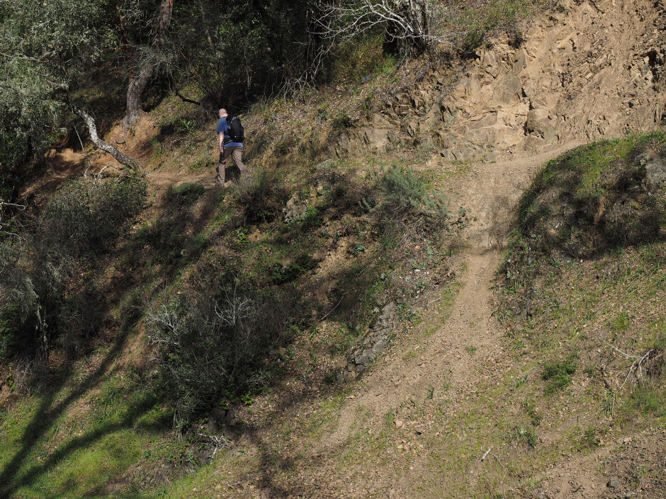
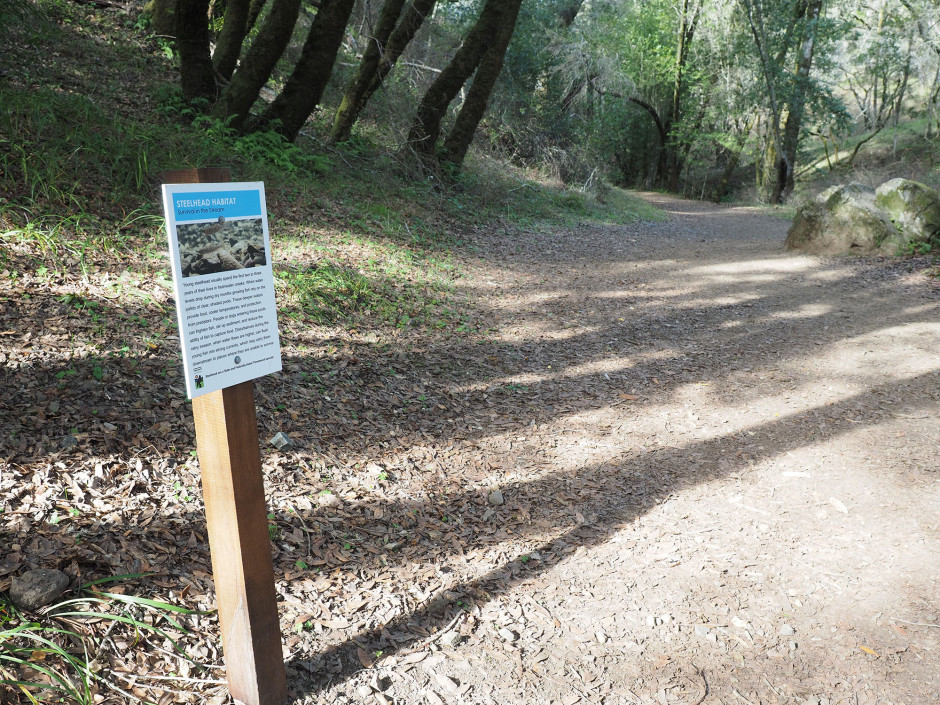
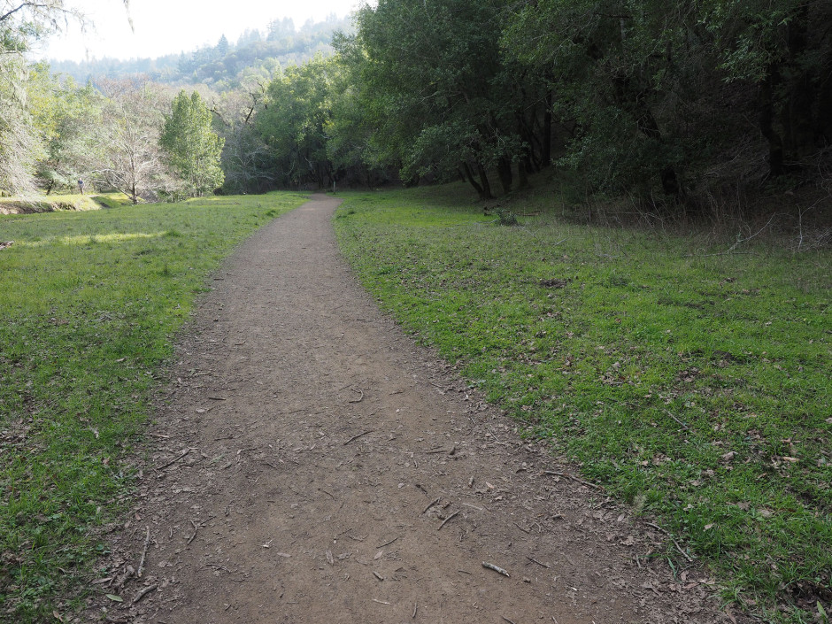
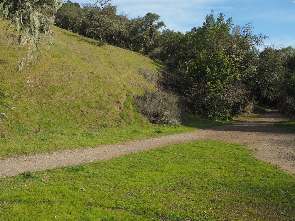
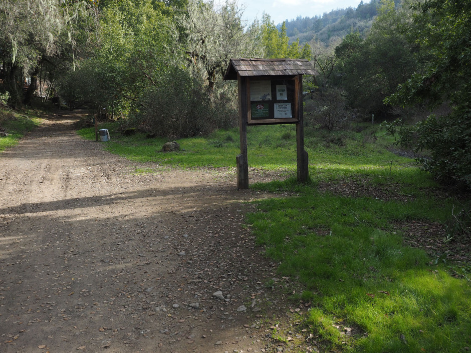
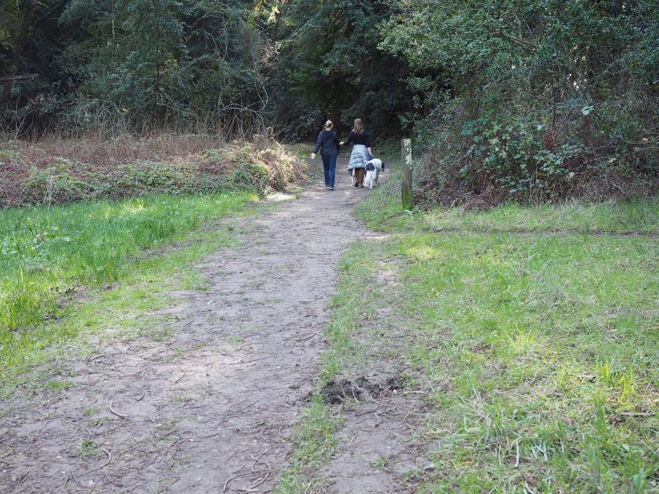
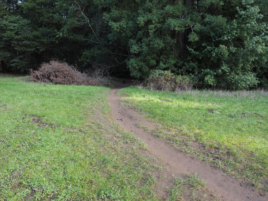
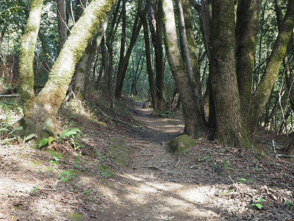
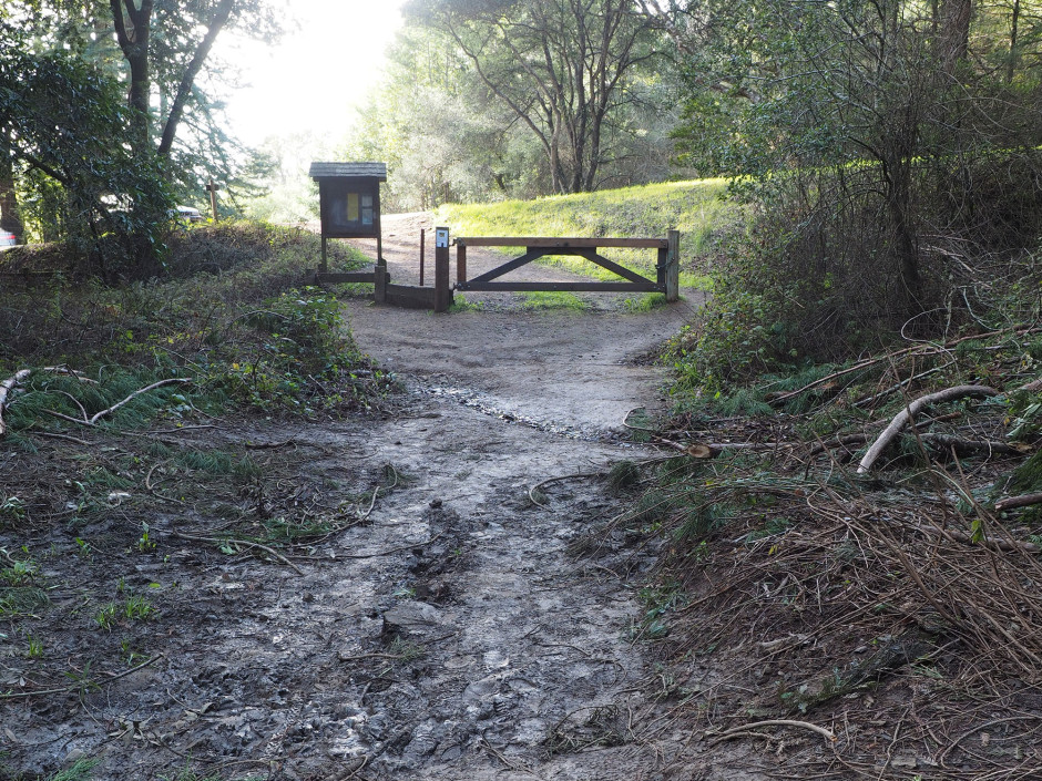
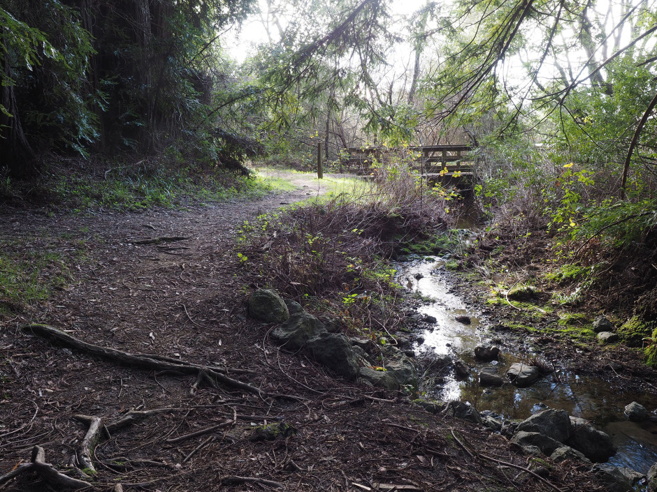
Roads and trails can have an adverse impact on open spaces. For example, they can add sediment to streams, create visual scars, fragment habitat, and contribute to the spread of invasive plants. In order to address and improve the extensive trail and road network acquired through their public land acquisitions and alleviate impacts to sensitive resources while advocating for public use and enjoyment, the Marin County Open Space District (MCOSD) developed its first Road and Trail Management Plan.
Overall Progress
As part of the consultant team, Wildscape Engineering provided technical analysis in the areas of hydrology, road and trail BMPs, and water quality during the development of the district’s Roads and Trail Management Plan and corresponding environmental documentation.
Wildscape identified and prioritized water quality improvement opportunities throughout MCOSD’s 34 park preserves based on the following mapped attributes:
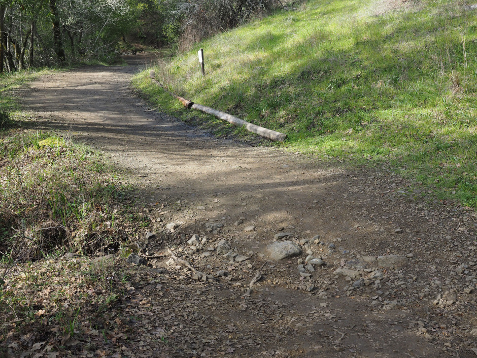
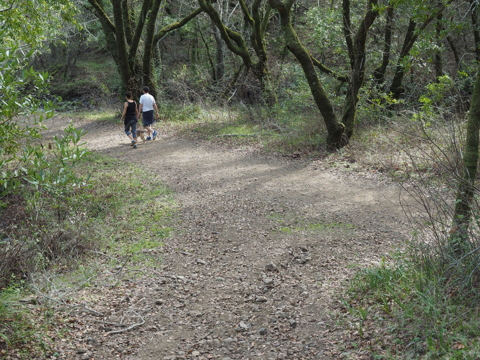
- Road and trail type placement and grade
- Evidence of concentrated flow or gullying
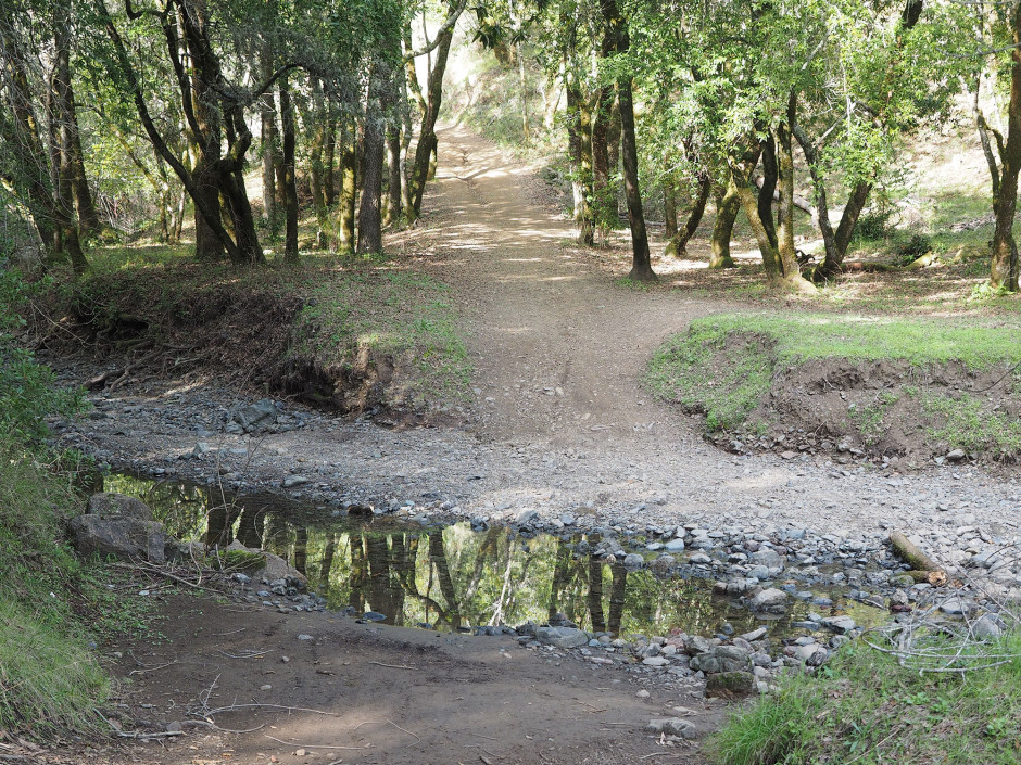
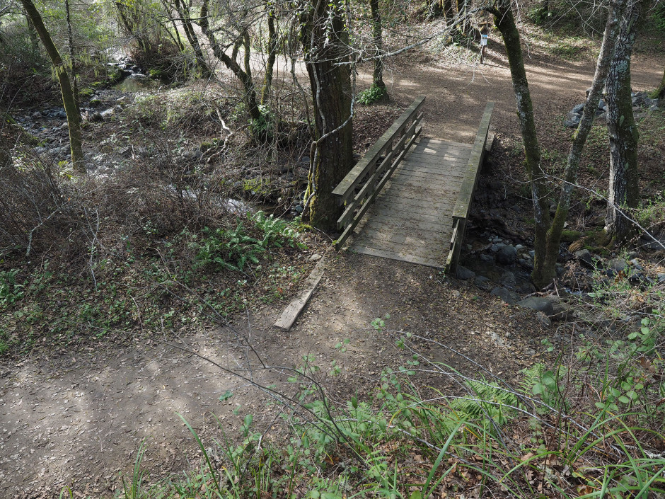
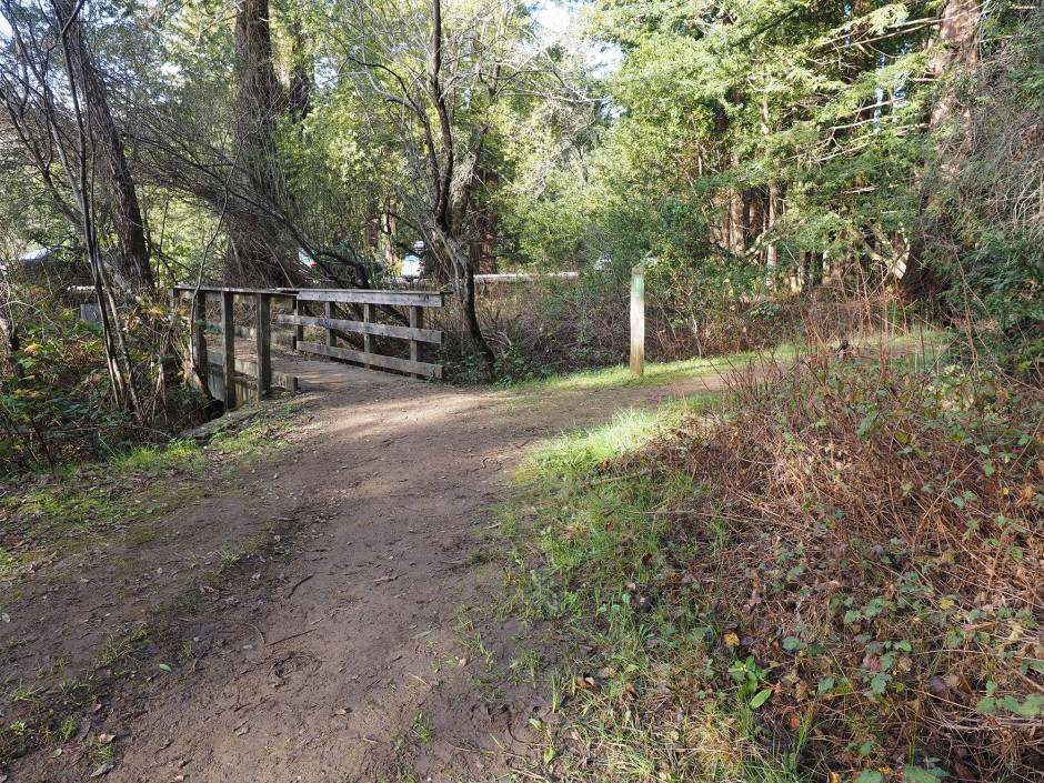
- Drainage crossing infrastructure (culverts, fords, bridges)
- Crossings where infrastructure was absent
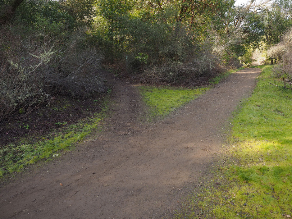
- Density of redundant trails
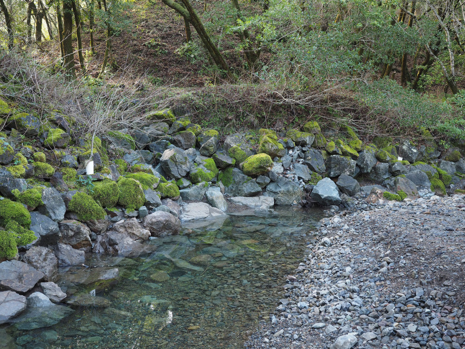
- Proximity to sensitive water bodies or other natural resources
Wildscape provided the hydrology, water quality, geology, and soils analysis for the supporting Environmental Impact Report (EIR). The Final Road and Trail Management Plan and EIR were adopted in December 2014.
Project Planning Elements
- CEQA
- Hydrology Analysis
- Erosion Control Practices
- Trail Improvements

